Floracliff Nature Sanctuary
Fayette County Kentucky, USA
Why study Floracliff?
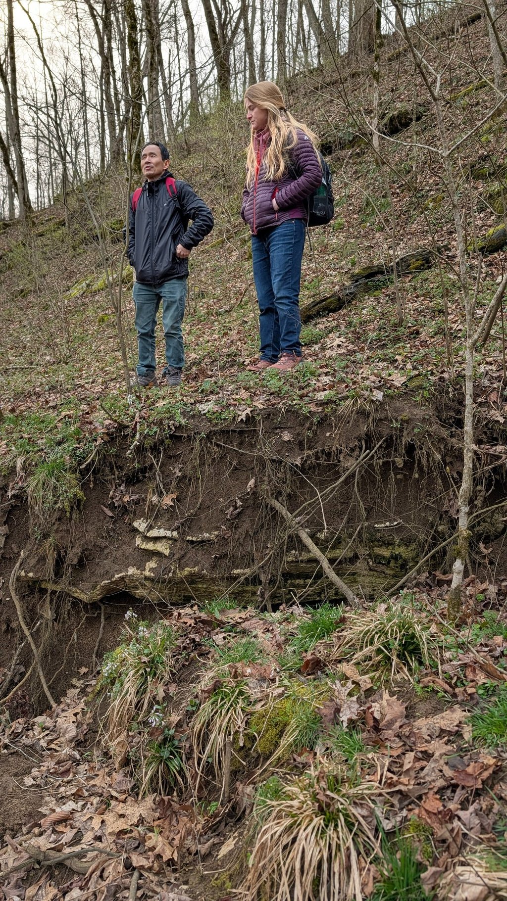
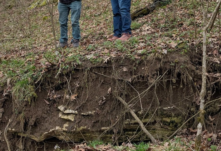
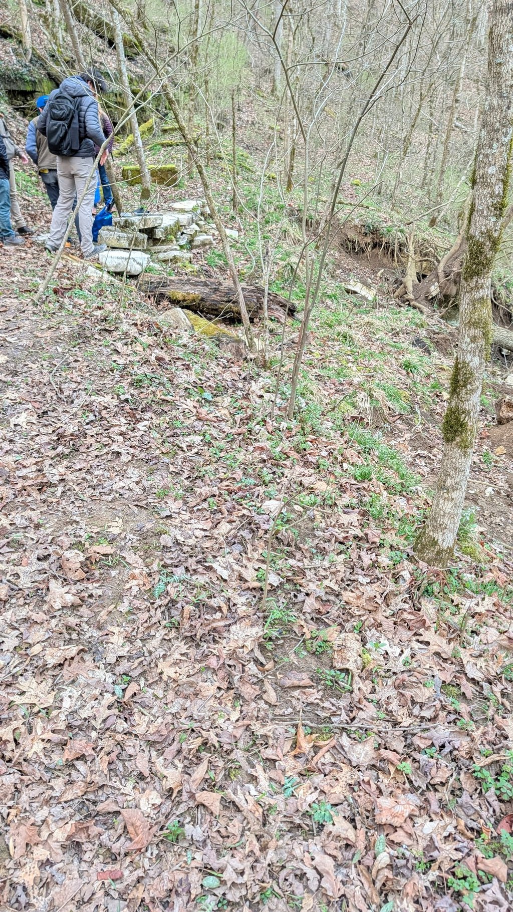
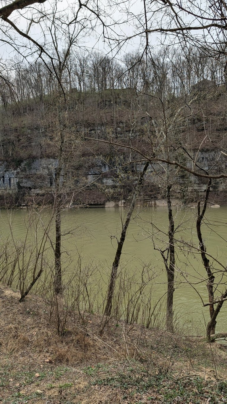
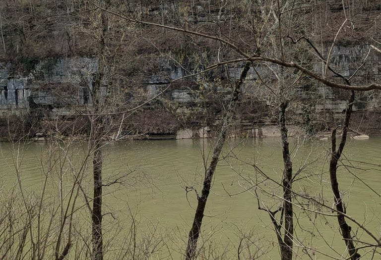
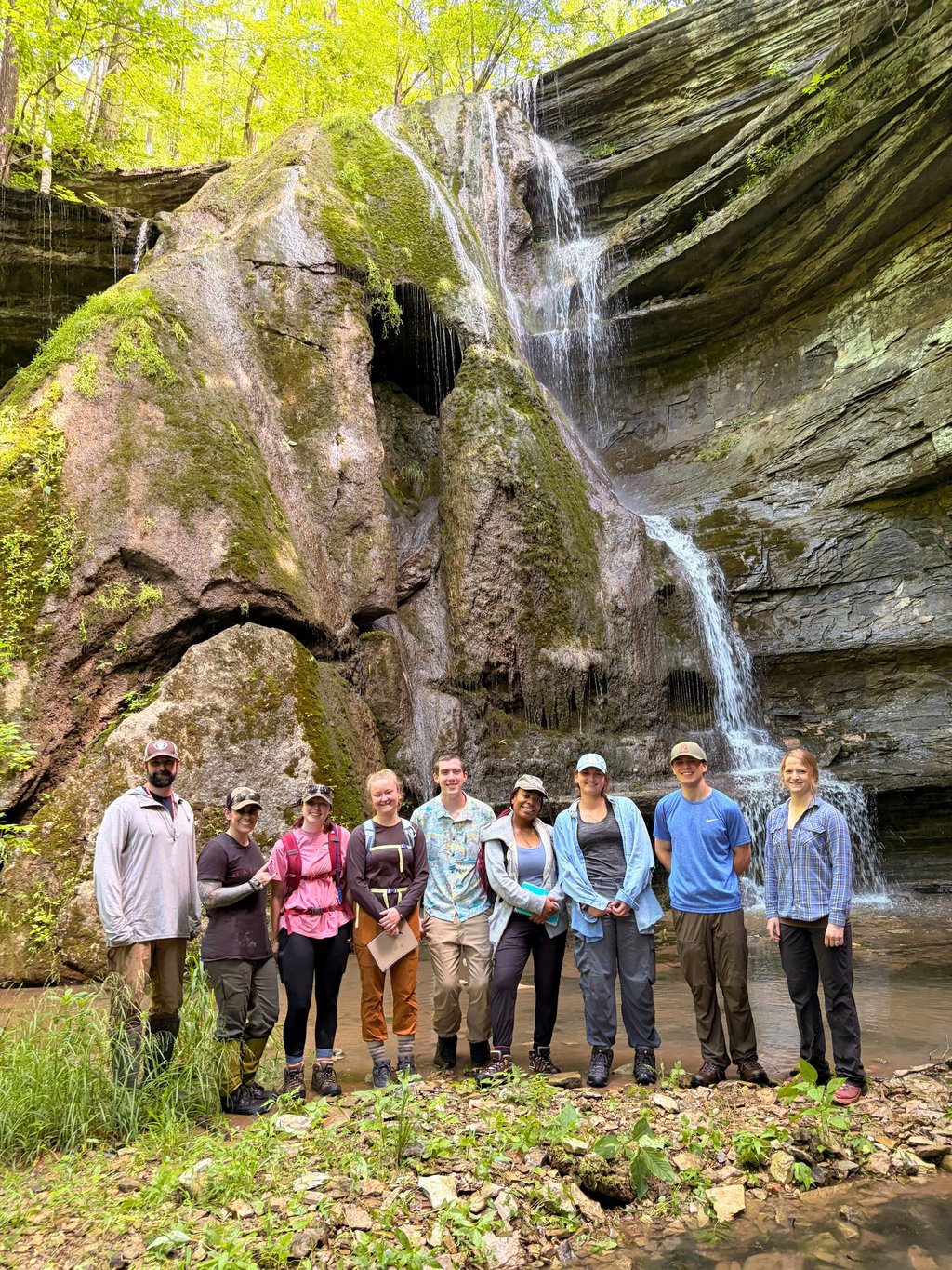
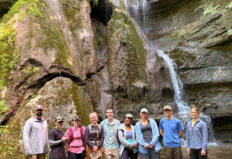
Floracliff Nature Sanctuary in Fayette County Kentucky is what a limestone system looks like when it stops pretending to be stable. The gorge is cut into Ordovician rock that fractures, dissolves, and reroutes water however it wants, which means the slopes are constantly negotiating with gravity whether they hold or not. One of them did not. The failed slope gives you the full breakdown, the scarp left behind, the material moved downslope, and the structure exposed, while right next to it there is a slope that is still intact under nearly the same conditions. Then you drop to the floodplain where slope drops out entirely and it is just water, sediment, and whatever chemistry settles out of that interaction. Same system, three different physical setups, all in one place.
Floracliff is also home to one of the tallest tufa waterfalls in the region. Tufa is where the water is not just moving through the system, it is building it. The reason it looks the way it does, spongy and layered and almost organic, is because microbes, algae, and mosses are right in the middle of it. They live on those wet surfaces, pull carbon out of the water, trap minerals, and give the rock a place to grow. The water keeps flowing, the biology keeps growing, and the rock builds up around and through it.
Floracliff Nature Preserve is where active slope failure, a stable control slope, a no slope floodplain, and a living carbonate system all exist in the same landscape. Rock, water, microbes, and chemistry are all interacting, forcing outcomes on each other in real time. Floracliff leaves the evidence exposed.
FC_LS_FS
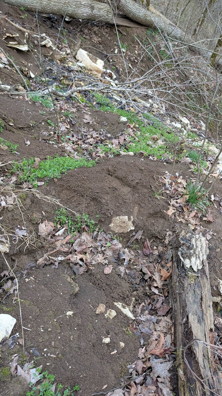
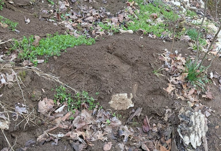
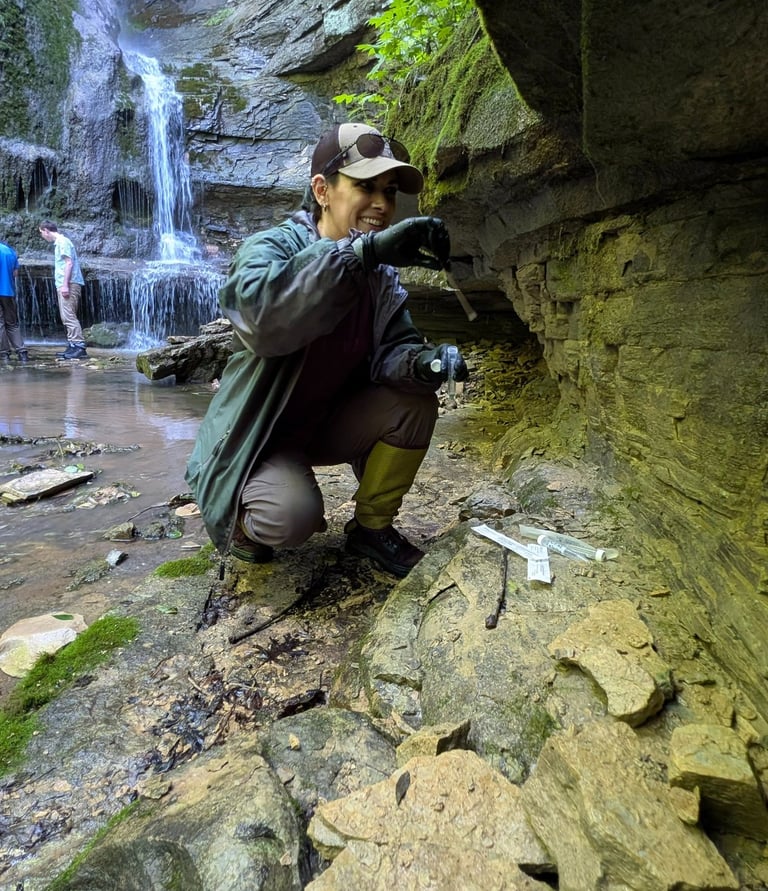
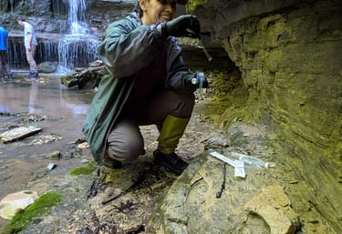
Landslide
A landslide, aka a slope that failed. The ground gave up, moved downslope, and left the whole system exposed. We are here to figure out why this one broke, so we are pulling apart the mineralogy, the chemistry, and the microbial community to see what was actually holding it together and what clearly was not.
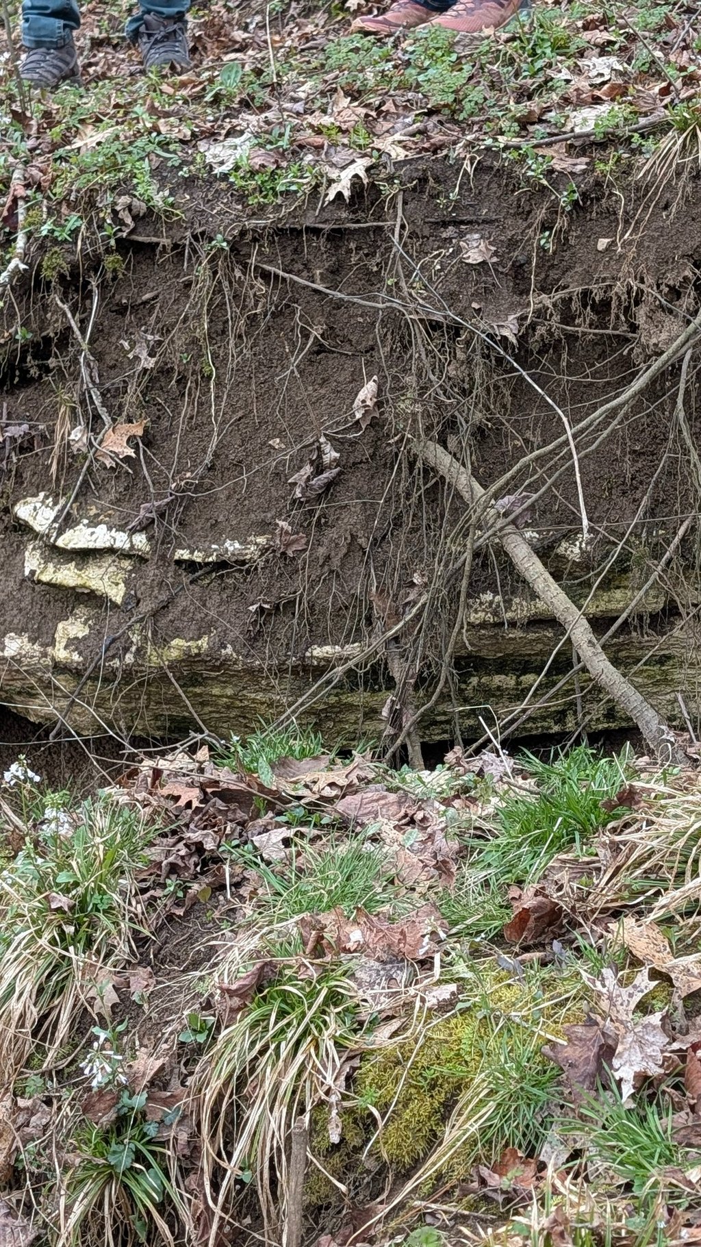
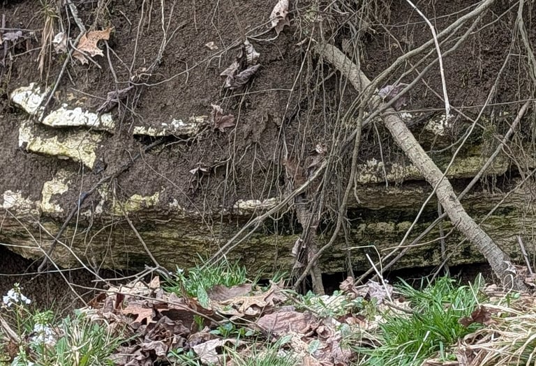
FC_LS_Scarp
Landslide Scarp
The scarp is what got left behind when the slope failed. Fresh surface, newly exposed, zero stability illusions. This is the environment right where everything let go, and we want to know what that looked like at the moment the system decided it was done.
FC_LS_CS
Stable Slope
Same setup, same general conditions, but this slope is still standing. No collapse, no movement, just holding. That makes it useful. If this one works and the other one did not, something in the geology, chemistry, or microbiome is doing a better job here.
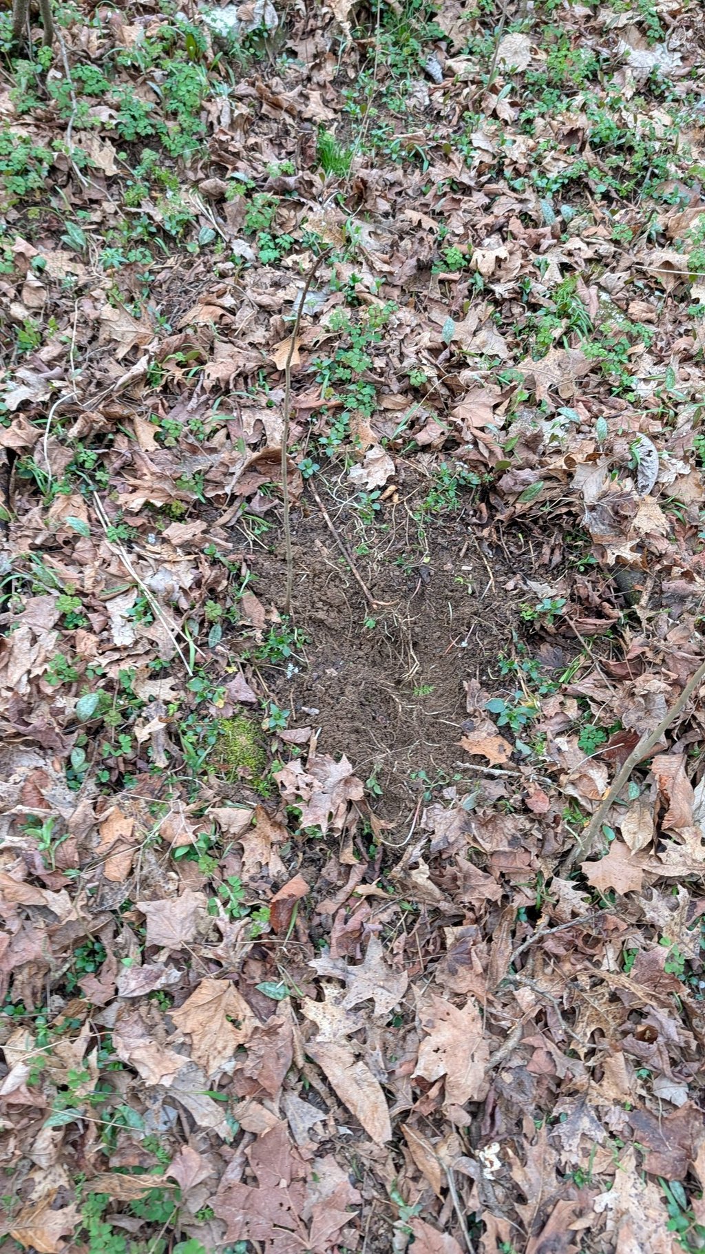
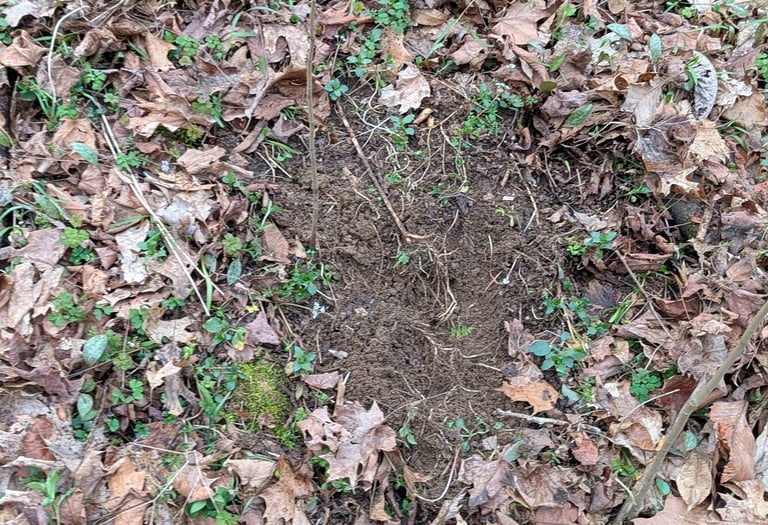
FC_LS_NS
Floodplain
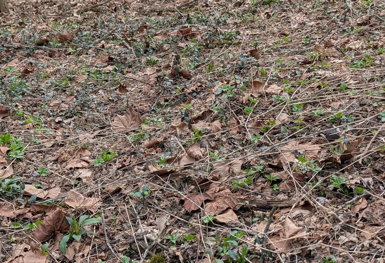
No slope, no movement, no gravity problem to solve. Just floodplain. Flat, wet, and chemically active in a completely different way. This is the baseline when you take slope out of the equation.

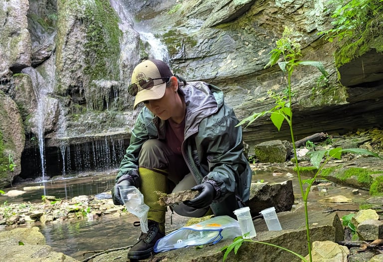
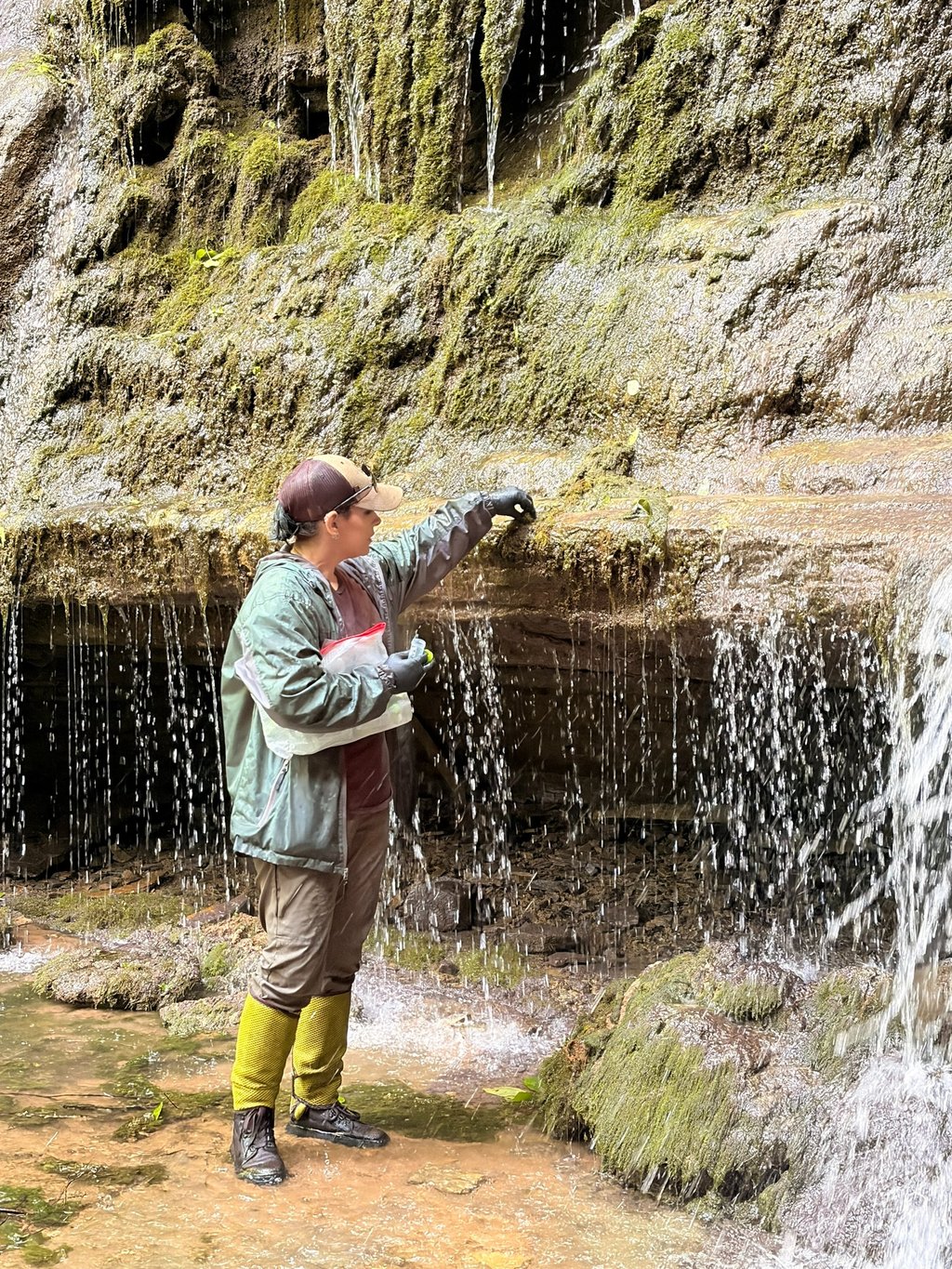
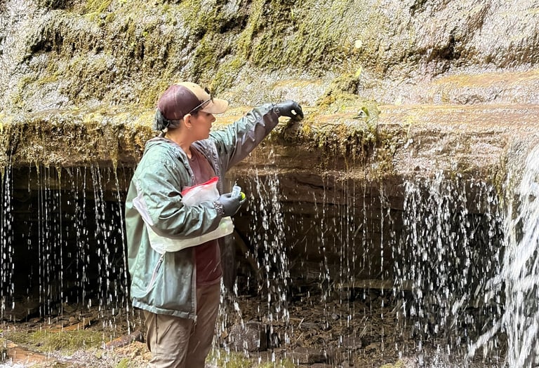
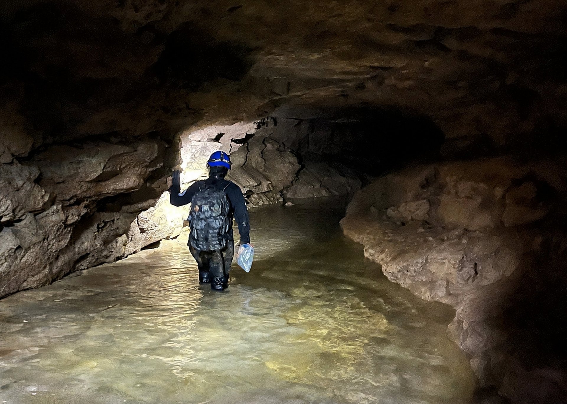
FC_Tufa_IS
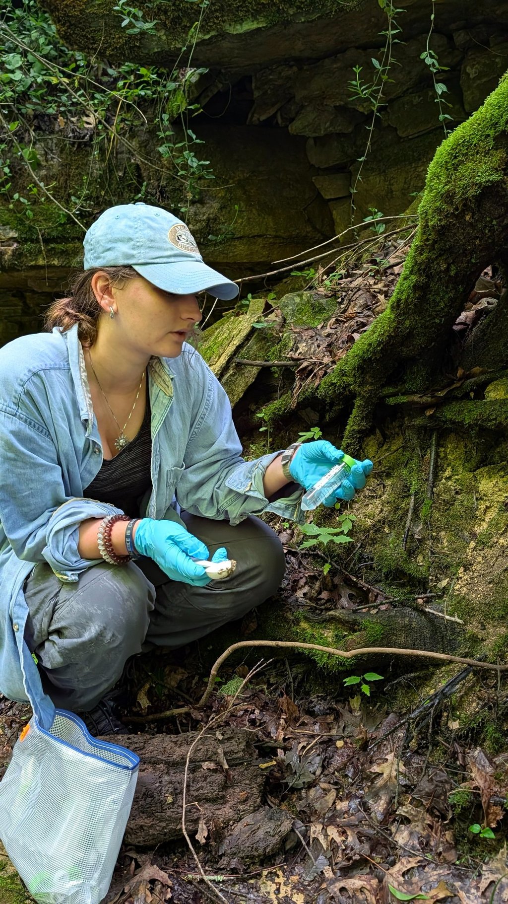
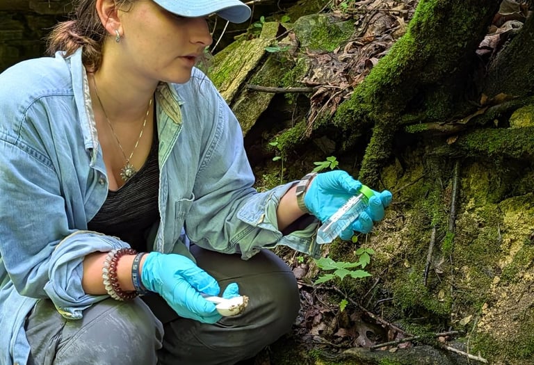
Tufa Stream
This is the active tufa system where the water is still building rock. The moss is not decoration, it is part of the process. That community is trapping minerals and shaping what the tufa becomes, so we sampled directly in the flow to see what is actually running that system.

FC_Tufa_DL
Tufa Dry Ledge
Not everything here is wet. Some ledges stay dry enough that the moss is still there but operating under different conditions. Same system, different constraints, so we grabbed those too to see what changes when the water backs off.


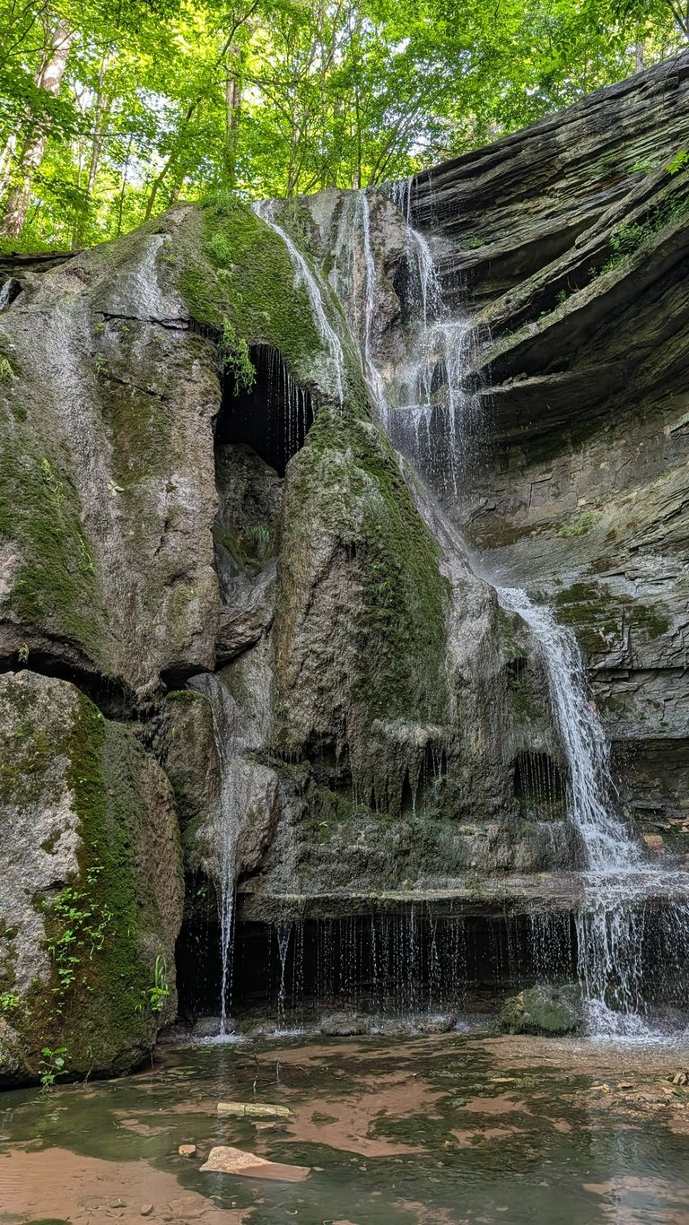
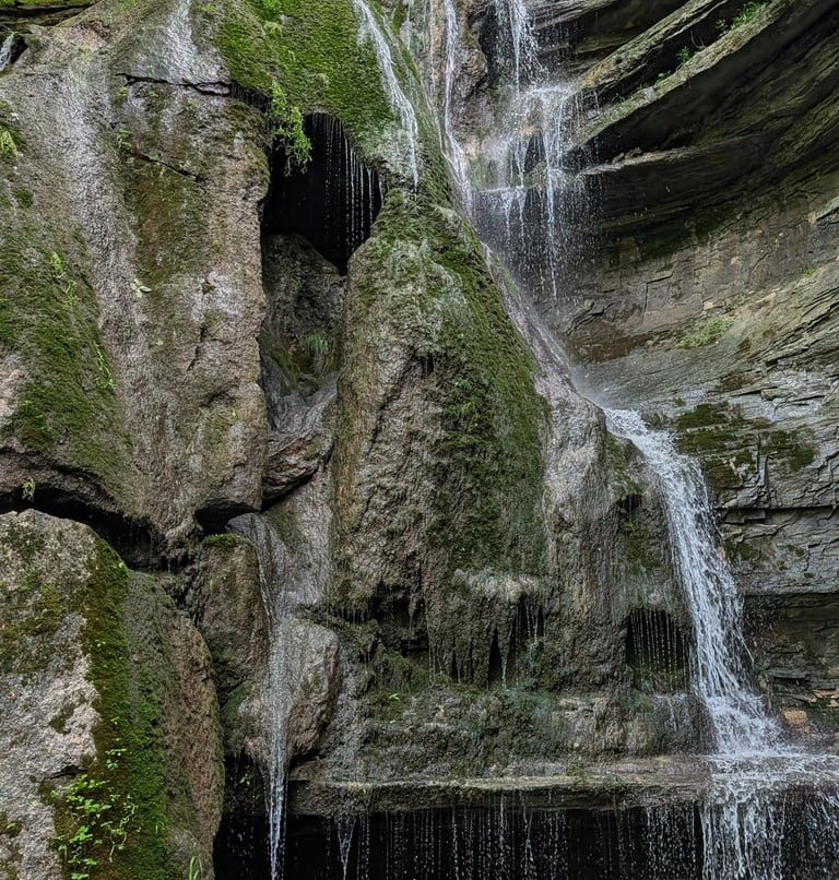
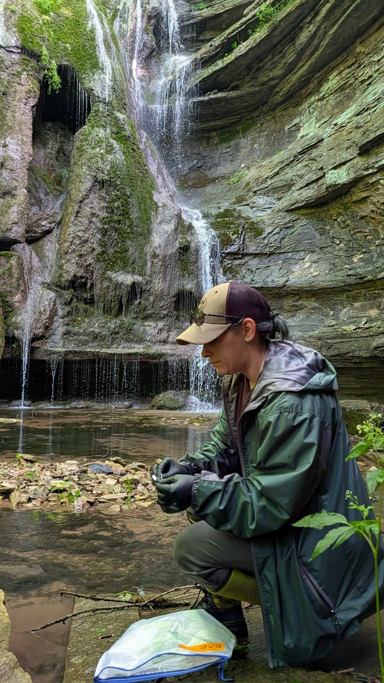
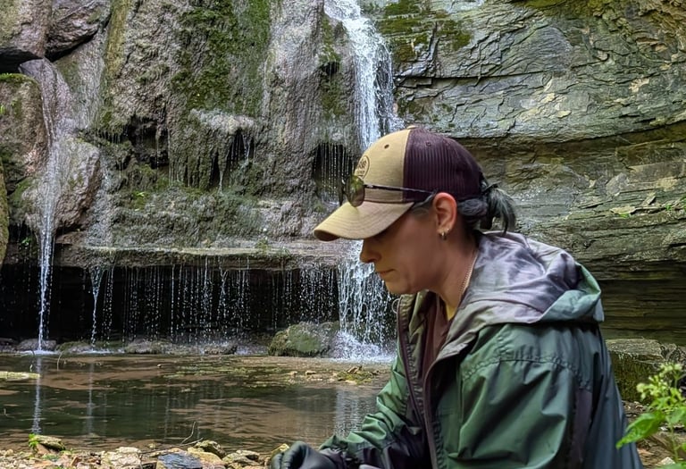
FC_Tufa_WF
Tufa Waterfall
The tufa falls are still growing, which means the system is still active. Water, biology, and mineral buildup all happening at the same time in one place. If you want to see rock forming instead of just sitting there, this is it.
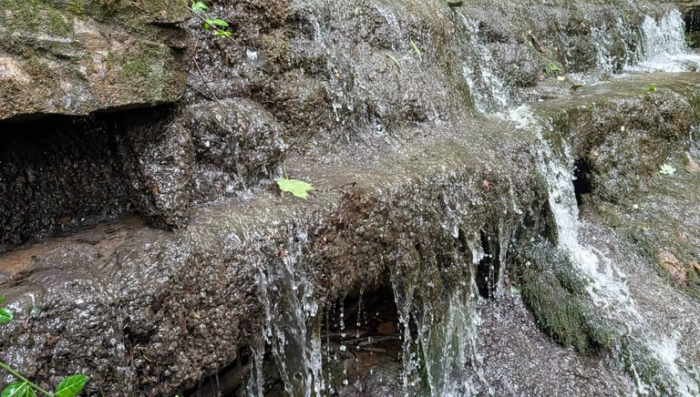
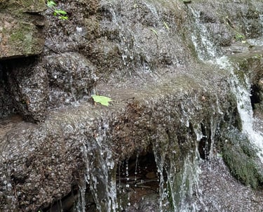
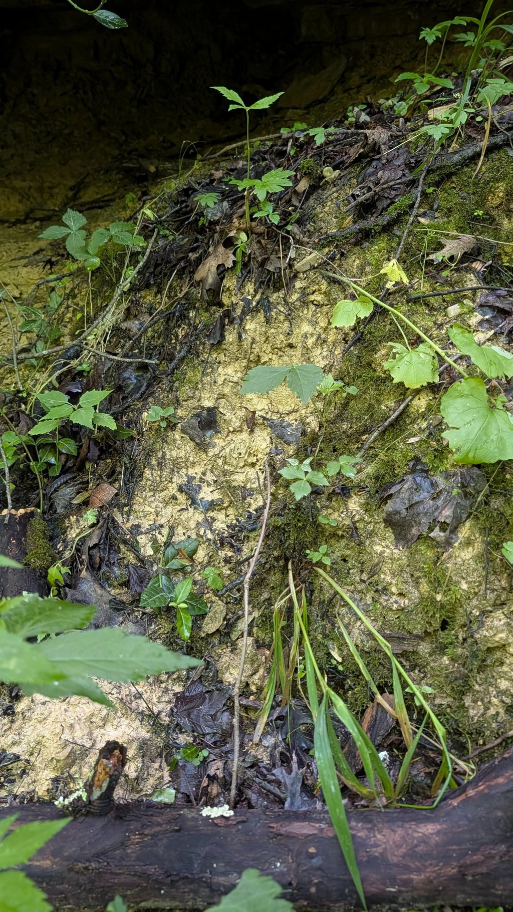
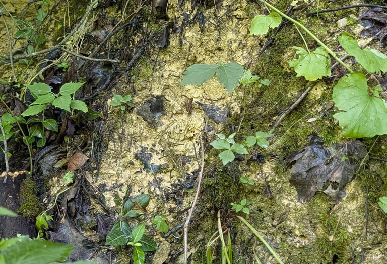
FC_Tufa_BC
Tufa Biocrust
This beautiful flowstone is still actively growing as mineral-rich water drips over it. That constant drip changes both the rock and the sediment below, making it the perfect place to look at how cave chemistry and microbes interact.
Who Made This Possible
Access and Site Partners
Dr. Meredith Swallom, Geologist III, KGS
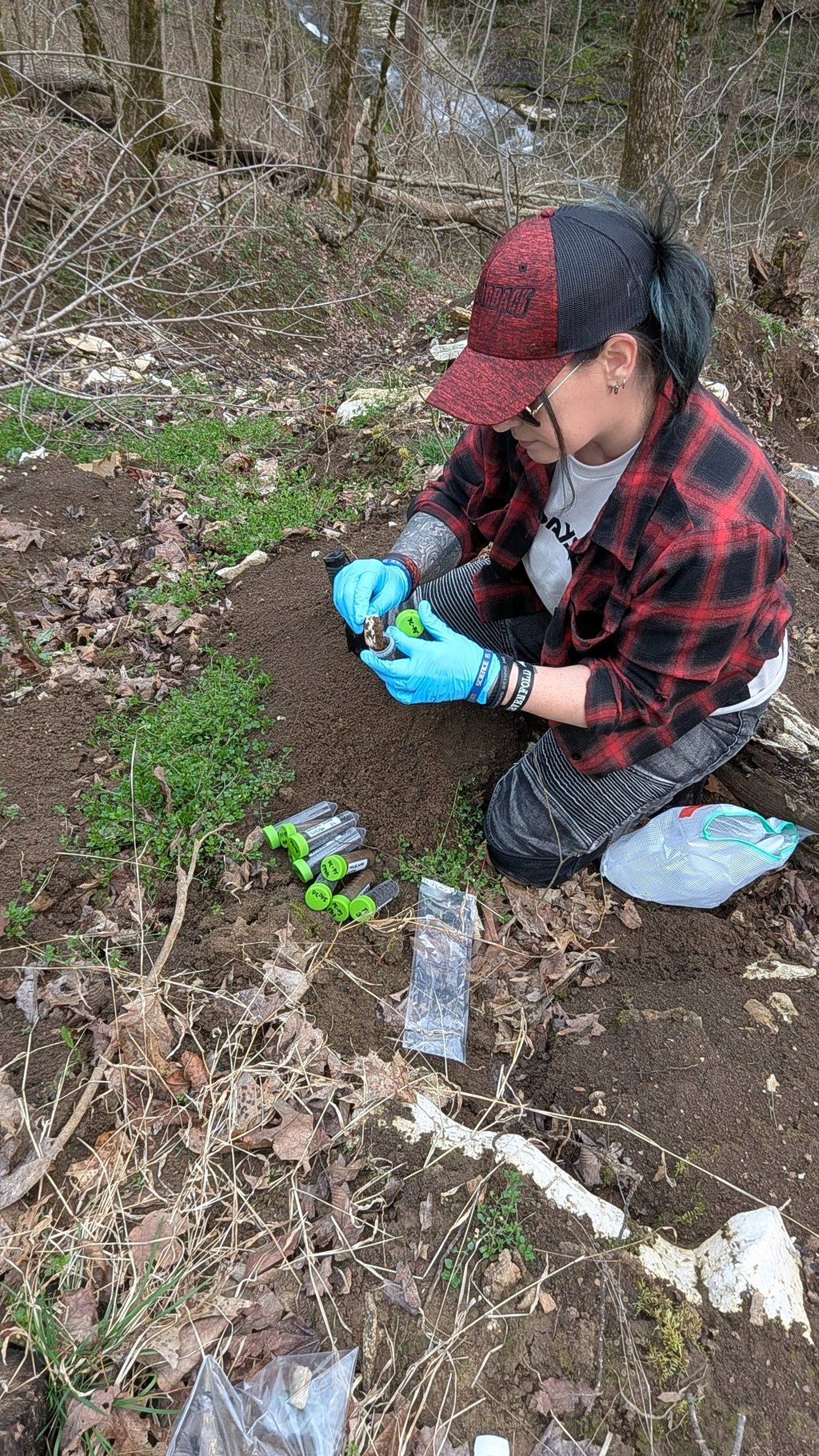
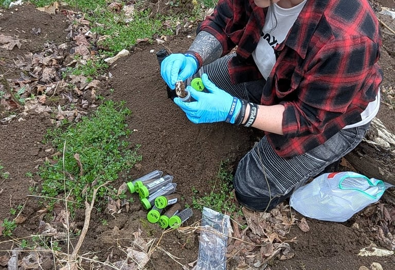
This work is not a single step and it is not a single person. It starts with people who make access possible, continues with those willing to get into the field and collect the samples, and runs all the way through the lab, the analysis, and the work required to turn raw material into something that holds up.
By the time you are looking at data, figures, or publications, it has already moved through a chain of people who showed up and did the work at every stage. We do not take that for granted. Thank you.
Washburn CHAOS Lab Members
Dr. Rachel Washburn, Director, Washburn CHAOS Lab
Mamie Clark, Potter Intern 2026, KGS
Field Sampling
Mamie Clark, Potter Intern 2026, KGS
Dr. Rachel Washburn, Director, Washburn CHAOS Lab
Sample Analyses Collaborators
Jason Backus, Laboratory Manager, KGS
Andrea Conner, Laboratory Analyst, KGS
Sahar Mofidi, Graduate Student, Tidgewell Lab, University of Kentucky
Funding and Sponsorship
University of Kentucky OVPR Postdoctoral Research Fellowship
KGS Enrichment Fund
Photography, Videography, and Imaging
Elizabeth Adams, Engagement Division Head, KGS
Dr. Meredith Swallom, Geologist III, KGS
Dr. Rachel Washburn, Director, Washburn CHAOS Lab
Get in touch
If you have questions about this system, start there. If you want to get involved, use these data as a starting point, get access to raw datasets, collaborate, have us collect samples, or come in and run your own study, this is where that happens. This work is open to people who are actually going to do something with it. The form is below.
Washburn CHAOS Lab
Science is metal. Science is feral. Science is CHAOS.
director@washburnchaoslab.com
#washburnchaoslab
© 2025. All rights reserved.
complex host and abiotic systems
@washburnchaoslab
Feral scientists exploring hostile systems, unstable environments, and the chemistry shaping what survives there.